Havana Weather for Aug. 26 to Sept. 1
Rains this week
By Yanet Díaz
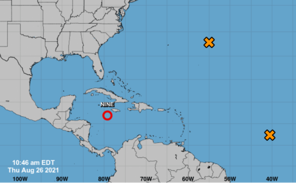
HAVANA TIMES – A tropical depression in the southern Caribbean Sea will become an organized zone of low pressures during the next few days, as it moves northwest over the northwestern Caribbean. The probability of development for this system will remain high in the coming days.
Another tropical wave in the central Atlantic keeps producing disorganized rains as it moves west-northwest, however, the chances of it gaining organization will remain low for the next few days.
The image shows the positions of these two systems, which we observe especially due to their possible relevance for Cuba depending on their path and evolution, which for the moment remains uncertain because they are still in the formation stages.
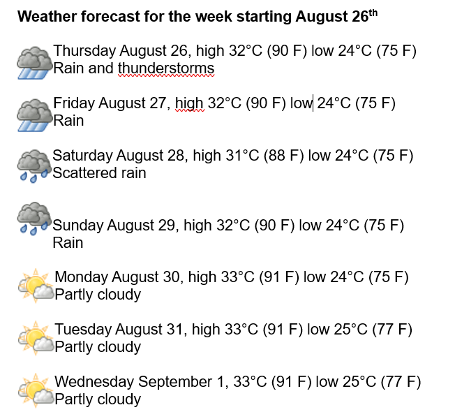
Meanwhile in Havana, isolated rains will continue, encouraged by high humidity and intense warming near the surface. We will have winds from the east and northeast, with speeds between 20 and 30 km / h, and some higher gusts near dusk. Humidity will remain very high, with highs ranging between 90 and 95%. It will continue to be very hot, with highs between 31 and 33° C (88 and 91 F), and lows at 24 and 25° C (75 and 77 F). The sea surface temperature will be 29° C (84 F).
Over the North Atlantic, the Gulf of Mexico and the Caribbean Sea, a medium to high probability of tropical cyclone formation is expected during the next 5 days.